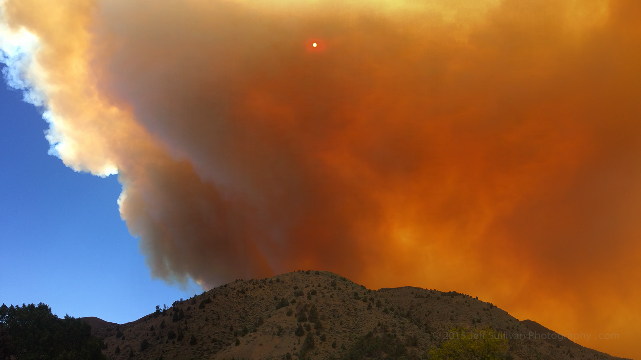
Photos from the Washington Fire Near Markleeville, California
Photos from the Washington Fire Near Markleeville, California The fire is roughly halfway to our house, but hopefully the more moderate winds today will enable the firefighters to slow its spread. Full containment is estimated for June 30, but a lot can change between now and then. Here's my new blog post with more http://www.jeffsullivanphotography.com/blog/2015/06/23/photos-from-the-washington-fire-near-markleeville-california/ The Pacific Crest Trail Association published a useful map showing the fire's progress around Monitor Pass. I'll put more photos on DripThat, a new app and community which facilitates the telling of stories through pictures, video and text. You can find the DripThat app in the Apple App Store ( http://bit.ly/1dhaequ ), and you can connect with me in the community to see more of my photos from my road trips: https://dripthat.com/pr?id=jeffsullivan #washingtonfire #news #photojournalism #dripthat www.MyPhotoGuides.com